From Proposal to Data Delivery
(Generally on project sizes 350 acres or less, data is delivered within a week)
Swipe Left for Touch Screen Devices

Proposal Request
Initiated
Client Proposal Request:
The prospect client will reach out to Pinpoint Drone Imagery, LLC. They will provide a KMZ Polygon illustrating project limits being managed and a detailed scope of their data needs.
PDI, LLC will do a comprehensive review of the site via Google Earth Pro and access RPIC Resources for a thorough Airspace review. The proposal will outline these details.
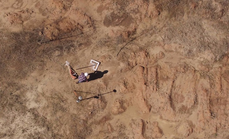
Ground Control Panels are essential to correct the data to known elevations therefore, PDI, LLC will outline these activities and supply Survey resources. The client may choose to use there survey and eliminate these associated fees.
Texas State Chapter 423. USE OF UNMANNED AIRCRAFT LAW prevents our remote pilot to fly over unauthorized properties!
References
Chapter 423 | Creating KMZ File

Schedule Mobilization
Step 2
Coordination Efforts:
Once PDI, LLC receives a signed proposal, a W9 will be sent to the client. If a deposit is required to mobilize, PDI, LLC will be on hold until payment is received and then scheduling will be planned and coordinated with field crew to set ground control panels and aerial operation can be conducted.
RPIC will look at weather forecast and obtain necessary approvals required to use unmanned aircraft for data acquisition.

Site Visit
Step 3
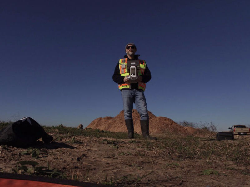
During the Site Visit: Field crew will be mobilized to set ground control panels and shoot in elevations. After control is set, RPIC (and UAS crew) will mobilize and setup an RTK Base Station and unmanned aircraft. Preflight protocols will be in affect to start the aerial mapping procedure. the RPIC will continue monitoring mission(s) to ensure the safety of aircraft, manned airspace, property and people in vicinity of its operation.
Federal Aviation Administration
Small Unmanned Aircraft Systems (UAS) Regulations (Part 107) is to be followed by PDI's RPIC and Mapping Team during operations.
Reference
FAA Part 107 Regulations

Process Mapping Data
Step 4
Raw Data to Usable Data:
PDI, LLC has a number of software products to assist in data processing, point classification, ortho rectification, photogrammetry, manipulate LiDAR data, 3D mesh generation, DSM surface, DTM surface, and more.
Large datasets and/or complex datasets can take days to get through initial processing stage but projects smaller than 300-350 acres can be completed in under a week. Projects 150 acres or less can be completed in a couple of days.
Software Assets (but not limited to);
DJI Terra, Pix4D, 3DSurvey, Global Mapper, QGIS, Terrascan and Civil 3D

Data Delivery
Final
Time to Deliver:
PDI, LLC will send the Civil 3D drawing and all pertinent data assets via OneDrive, Google Drive, Dropbox, etc.
Hosting data management may be an option for addition hosting service fee through 3rd party resources.
Complementary Technical Support covers the insurance that data is properly pathed to display all requested data to jump start your design process from our dataset. We can provide optional file types of the data to support CAD/GIS environments if desired.
If Registered License Surveyor is required to stamp approve our data matches ground control/benchmark information and additional drafting is required, then expect reasonable delay by the Surveyor.


